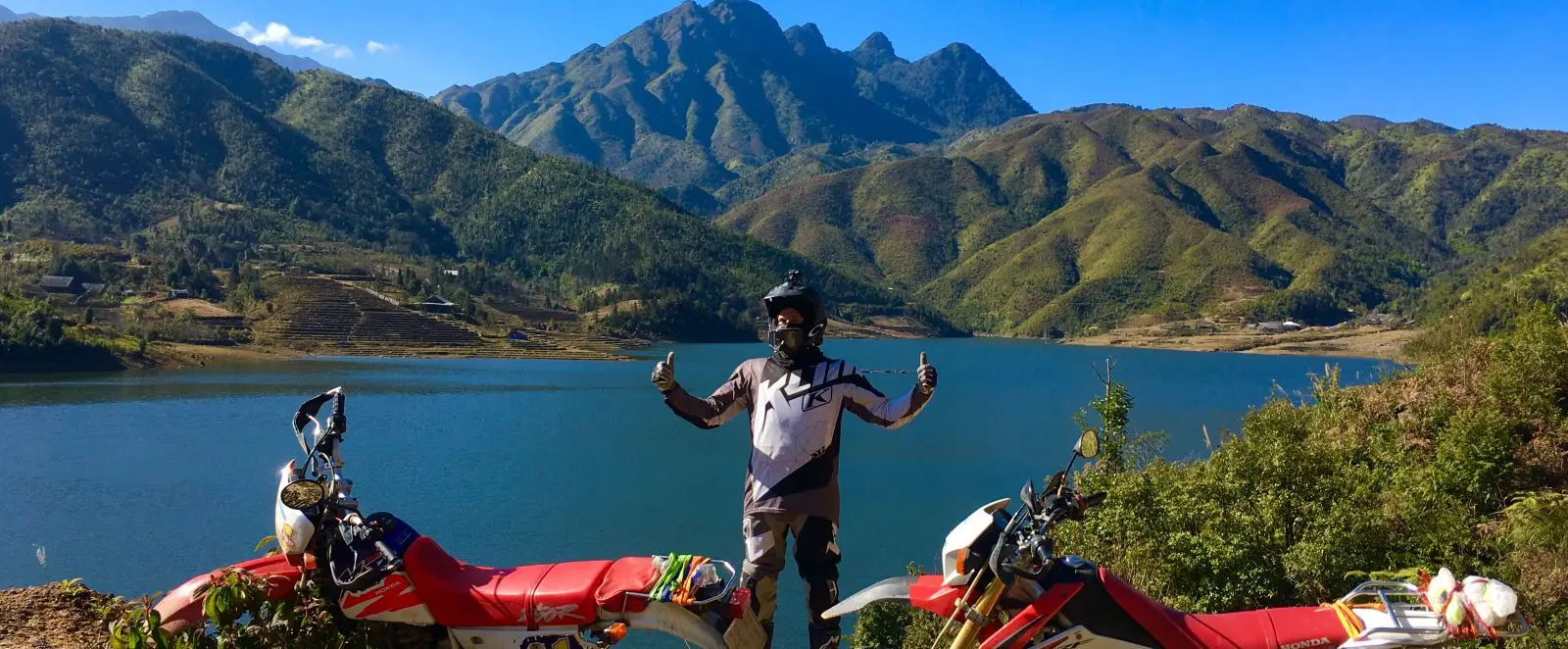
Ha Giang has two versions of itself: the classic loop most riders follow, and the alternative routes most riders never find. This post covers the second version: the roads toward Du Gia, Hoang Su Phi, Xin Man, and DT177 that stay quiet because they are rougher, longer, and less mapped. The Ha Giang loop alternatives described here are suited to riders on manual bikes with at least 150cc, not automatic scooters on a three-day schedule. Check out best motorbike tours in Vietnam
Why riders look for alternatives to the Ha Giang loop
The classic Ha Giang loop covers Ma Pi Leng Pass, Dong Van, and Meo Vac. Those roads are paved, the viewpoints are signed, and during peak season from September to November, they are busy. The loop takes three to five days at a relaxed pace and delivers what it promises: dramatic karst scenery and good roads.
The reason riders look for alternatives is what sits outside that main circuit. Ethnic villages in the Hoang Su Phi district, dirt tracks through the Dong Van Karst Plateau, river valleys near Du Gia, and border roads along DT177 all sit within the same region but see a fraction of the traffic. Roads are unpaved in sections, weather changes faster at higher elevation, and guesthouses are smaller and less predictable.
That trade-off is the point. Spending four to seven days instead of three gives enough time to ride both the main loop and at least two of the alternatives below.
- Check out the Ha Giang loop map

A note on skill level
The alternative routes described here require confident riding on unpaved roads. Weather in Ha Giang changes fast, especially above 1,000 meters. The best detours are unpaved. If you have not ridden gravel or mountain dirt tracks before, join a guided tour rather than self-navigating. The roads reward experience and punish overconfidence.
Getting to Ha Giang and understanding the region
Ha Giang city sits 480 kilometers north of Hanoi. There is no airport in the province. The nearest airport is Noi Bai International in Hanoi. Most riders either drive up from Hanoi over two days or take an overnight bus and rent a bike locally.
The region borders China to the north and was closed to foreign travelers until the early 2010s. That late opening is one reason the roads outside the main loop remain in good condition but low on infrastructure. Guesthouses exist in most district towns, but advance booking is useful during September to November.
The main loop follows well-maintained asphalt through Quan Ba, Yen Minh, Dong Van, and Meo Vac. The alternative routes described below branch off this circuit onto roads that range from compacted gravel to unmaintained dirt, depending on the season.
Ha Giang loop alternatives: the lesser-known routes
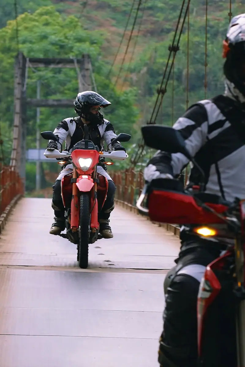
The routes below are accessible by motorbike. Most are not manageable by car unless you have a 4×4. Buses do not serve these roads. They cover the Xin Man district, DT177, Hoang Su Phi, Du Gia, and the border zone toward Bao Lac and Mau Due.

Rural trails toward Du Gia, Nam Dam, and Lung Tam
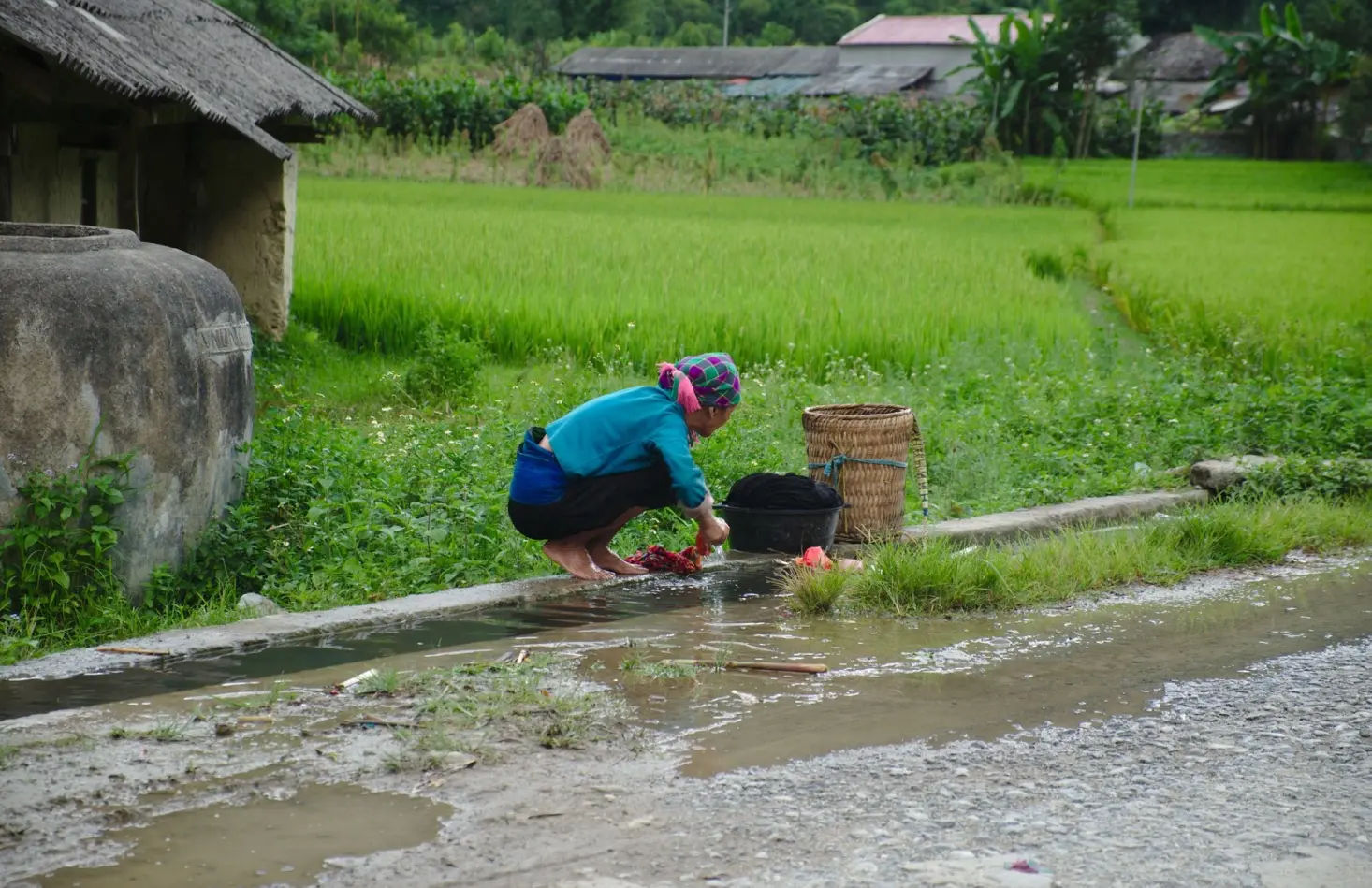
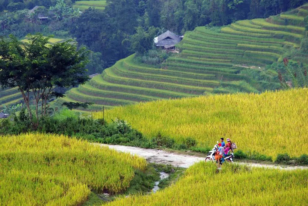
Roads to Du Gia, Nam Dam, and Lung Tam pass through valleys where the main traffic is water buffalo and local farmers on 50cc bikes. These are Tay and Lo Lo ethnic villages with wooden stilt houses and rice terraces that run from valley floor to ridgeline.
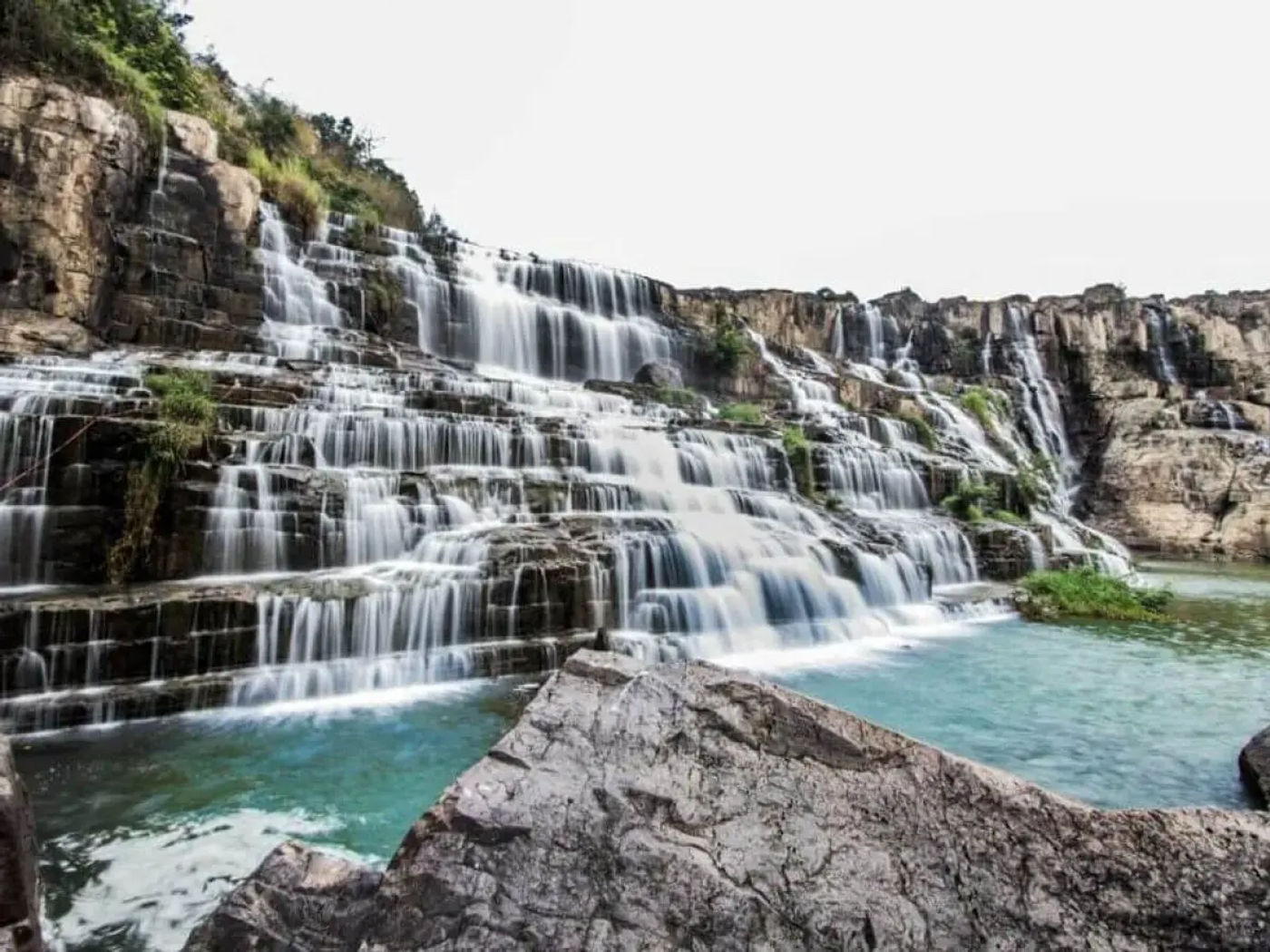
Roads are dusty in dry season and muddy in wet season. Widths narrow to single track in places. Du Gia has guesthouses and a waterfall accessible by a 20-minute walk from the village. Nam Dam and Lung Tam are smaller, with basic homestay accommodation. Bring cash as there are no ATMs on these routes.
Forest and mountain roads around Yen Minh and Dong Van Karst Plateau
The roads between Yen Minh and Dong Van that cut through the karst plateau’s interior rather than following the main highway are largely untrafficked. The Dong Van Karst Plateau is a UNESCO Global Geopark covering about 2,350 square kilometers. The interior roads pass through pine forest, karst rock formations, and small Hmong settlements.
Du Gia National Park, which borders the karst plateau to the south, has forest trails that connect to the main loop via unpaved roads. These sections are rideable in dry season on a trail bike. In wet season from June to August, the same roads can be impassable after heavy rain.
Hidden viewpoints between Yen Minh and Dong Van
Most of the named viewpoints on the Ha Giang loop are signposted and have parking areas. The unsigned ones are found by pulling off the main road at ridge crests or following dirt tracks that branch uphill from the highway between Yen Minh and Dong Van.
The Vietnamese term for viewpoint is “điểm ngắm cảnh.” Asking locals at a roadside cafe along this stretch usually gets a pointed finger in the right direction. The best light on the karst peaks is early morning and late afternoon. The stretch between Yen Minh and Dong Van takes about two hours on the main road. Allow four hours if you stop to explore.
Map: off-road trails for planning your itinerary
Nho Que River and Tu San Canyon
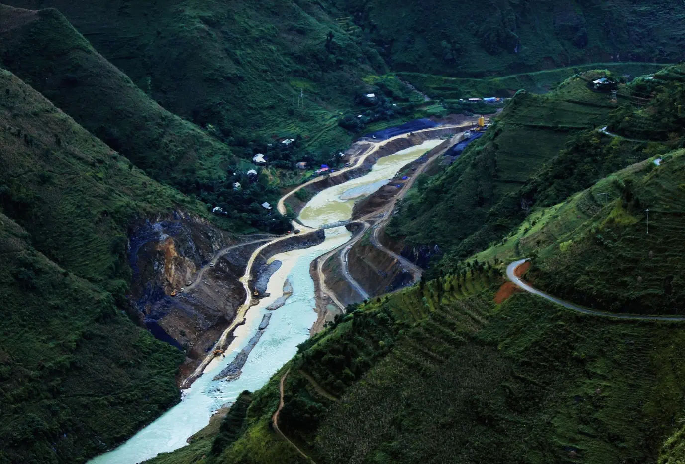
The Nho Que River runs along the bottom of Tu San Canyon, which has cliff walls rising up to 1,000 meters on either side. The river originates in Nghiem Son in China and flows south through the canyon before widening near Meo Vac. The water is a clear green-blue in dry season.
Boat and kayak rides through the canyon take about 90 minutes. Entry and boat tickets cost between VND 100,000 and VND 150,000 per person. This is one of the more visited spots on the main loop, but arriving before 8am avoids most of the tourist groups. It is worth including even on an alternative itinerary.
Ho Noong lake
Ho Noong sits in Phu Linh commune, 23 kilometers from Ha Giang city. The lake is fed by underground springs flowing through caves between two mountain ranges and connects to the Lo River at its lower end.
Water levels rise significantly in rainy season, changing the shape and character of the lake. The area has Tay stilt houses on the banks and is quieter than most stops on the main loop. It works well as a first or last night stop if you are starting or finishing the loop in Ha Giang city rather than riding straight through.
Thon Tha hamlet and waterfall
Thon Tha village is a 10-minute ride from Ha Giang city’s KM0 marker. It is a Tay ethnic village with terraced rice fields and stilt houses. The pace is slow and the village sees few visitors outside of weekends.
A waterfall is accessible by a short ride or walk from the village center. It is a reasonable half-day stop before beginning the loop or on the return. Overnight homestay is available.
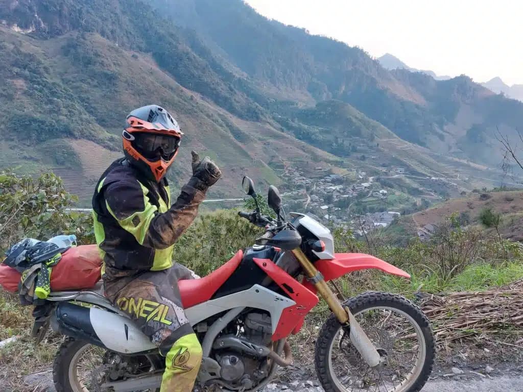
Essential gear and safety tips for Ha Giang’s rougher roads
Safety gear for riding the Ha Giang loop
A full-face helmet, gloves, and waterproof outer layers are the minimum for Ha Giang. On the alternative routes described here, add knee protection and sturdy boots with ankle coverage. Carry a small first aid kit, bungee cords for luggage, and a basic tool kit including a tire repair kit.
Mobile signal is inconsistent on roads away from the main loop. Download offline maps before you leave Ha Giang city. Fuel stations exist in most district towns. Between them, small roadside petrol sellers operate from plastic containers, usually priced 5,000 to 10,000 VND above pump prices.
Best months to ride Ha Giang
September to November is the most popular window. Rice terraces are yellow and gold from late September through October, and the weather is dry and cool with temperatures ranging from 15 to 25 degrees Celsius at elevation.
March to May is the second good window. Buckwheat flowers bloom across the karst plateau in March and April, covering hillsides in pink and white. Temperatures are similar to autumn.
June to August brings heavy rain and the risk of landslides on mountain roads. Several passes and dirt tracks on the alternative routes become impassable after sustained rain. December to February is cold and frequently foggy above 1,000 meters, with temperatures dropping below 10 degrees Celsius at night on the plateau.
- Check out the best months to ride Ha Giang
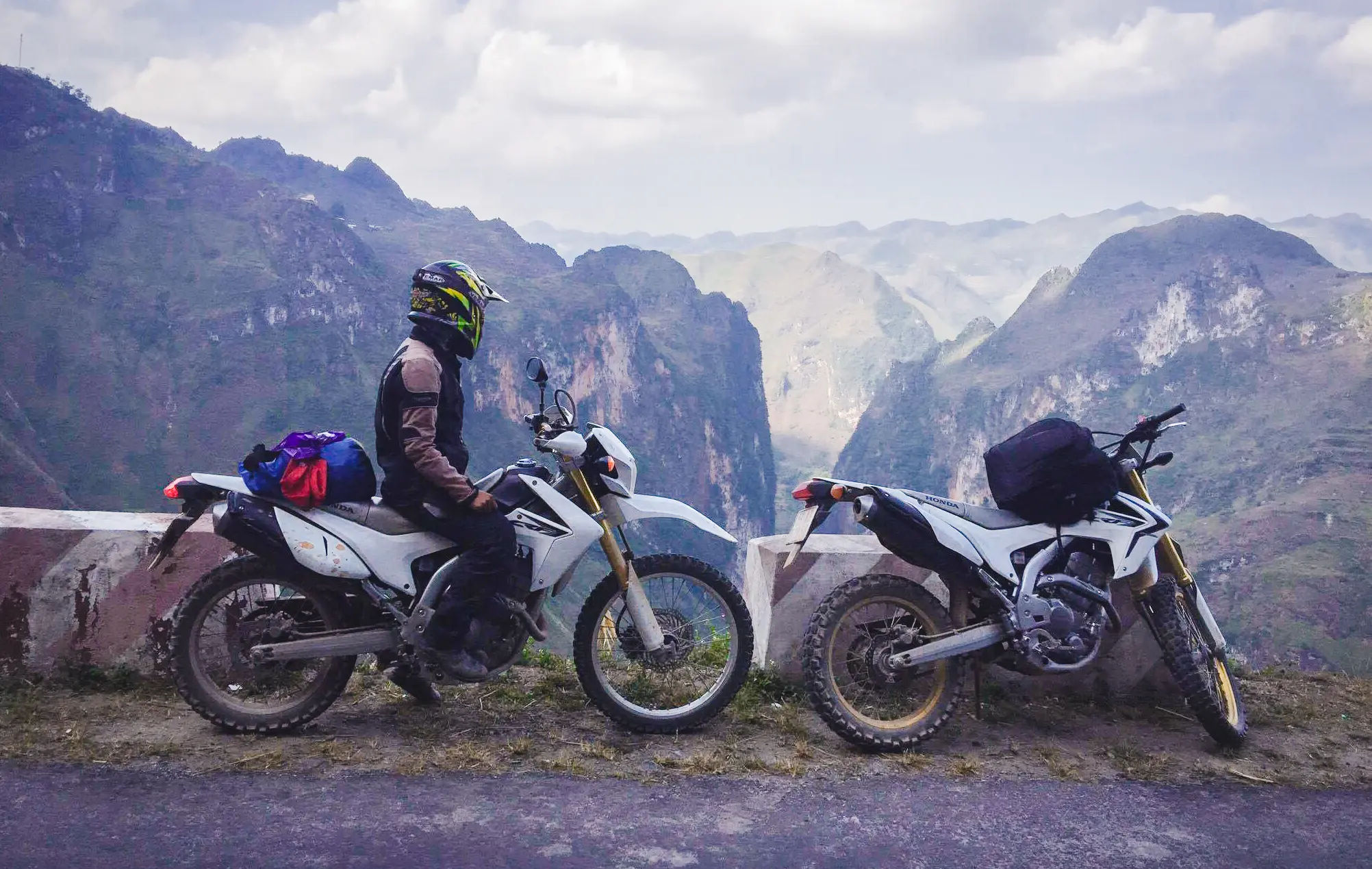
Which motorbike to choose for rough Ha Giang roads
For the main loop on paved roads, a manual 150cc bike such as the Honda XR150 or Honda XR190L is adequate. Both are widely available to rent in Ha Giang city.
For off-road sections toward Du Gia, Hoang Su Phi, and DT177, a bike with proper suspension and ground clearance matters. The Honda CRF250 handles the rough terrain well and is available through some tour operators. The CB500X works for riders with more experience and covers paved mountain roads at higher speed while still managing light gravel.
Automatic scooters below 125cc are not recommended for the alternative routes. They are manageable on the main paved loop but not suited to unpaved descents, river crossings, or the sustained climbs above 1,200 meters on the side roads.
Planning your Ha Giang loop with alternative routes included
Three days covers the classic loop at a fast pace. Five days covers the classic loop comfortably with time to stop at the main viewpoints. Seven days allows the classic loop plus two or three of the alternative routes above.
The most practical additions for riders on a five to seven day schedule are Du Gia and Hoang Su Phi. Both branch off the main loop without requiring a full day of backtracking. DT177 and the Xin Man district are better suited to riders building a custom itinerary rather than extending the standard loop.
For the route toward northern Vietnam, check out the 12-day northern Vietnam motorcycle tour that includes Ha Giang alongside other northern provinces.
Frequently Asked Questions (FAQ)
What is the best time to ride the Ha Giang loop?
September to November and March to May are the best windows. September to November gives dry weather and golden rice terraces. March to May brings clear skies and buckwheat flowers on the karst plateau. Avoid June to August when landslides and wet roads make the alternative routes difficult or impassable.
How long does it take to complete the Ha Giang loop?
The classic loop takes three to five days. Adding the alternative routes described here, Du Gia, Hoang Su Phi, and DT177, requires five to seven days. Rushing the loop in three days means staying on the main road and missing most of what makes Ha Giang worth the journey.
Can beginners ride the Ha Giang loop safely?
The main paved loop is manageable for riders with basic manual bike experience. The alternative routes are not suitable for beginners. If you are new to mountain riding, join a guided tour or ride as a pillion passenger. Details on the pillion motorbike tours in Vietnam are available for riders who want a guide.
What motorbike is best for the Ha Giang loop?
A manual 150cc bike is the minimum for the main loop. The Honda XR150 and XR190L are the most common rentals in Ha Giang city. For off-road alternative routes, the Honda CRF250 is better suited. Automatic scooters under 125cc are not recommended for any of the unpaved sections.
Are there fuel stops and food along the alternative routes?
Yes, but they are less frequent than on the main loop. District towns on all the routes described have fuel stations. Between towns, roadside petrol sellers operate from plastic containers at most villages. Carry enough fuel to cover 80 to 100 kilometers between known stops on the rougher routes. Small family guesthouses serve food in most villages.
- Check out the guide to fuel types in Vietnam